
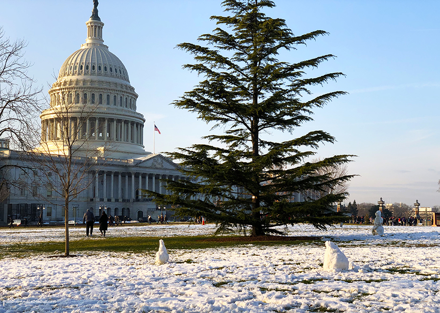
After a week of brisk weather, the DC region is gearing up for a snowy opening to Presidents Day weekend. Here's what you need to know:
Snow is on the way: Expect flakes to fall late Friday night, accumulating to 1-3 inches by Saturday morning. The heaviest snowfall is likely between 2 and 6 am, potentially impacting travel plans.
Wind picks up: Strong gusts have already prompted the Maryland Transportation Authority to restrict traffic on the Bay Bridge. Be prepared for windy conditions throughout the weekend.
Winter weather alerts: A winter weather advisory is in effect for Saturday, while a winter storm watch covers parts of Maryland, Virginia, and the DC suburbs. Stay updated on the latest forecasts and advisories.

Sunshine returns: Sunday brings relief with sunny skies and temperatures climbing into the upper 40s, albeit with chilly wind chills.
Warmest day on Monday: Presidents Day itself offers the most pleasant weather, with sunshine and highs in the low 50s.
Holiday closings: Remember to check if businesses or government agencies are open or closed before heading out this weekend.
Stay safe: Enjoy the snowy scenery, but exercise caution on potentially slippery roads and bridges.
Additional tips:
- Charge your phone and have a car emergency kit handy in case of power outages or unexpected delays.
- Dress warmly in layers for the weekend's chilly temperatures.
- Allow extra travel time if you're heading out on the roads.